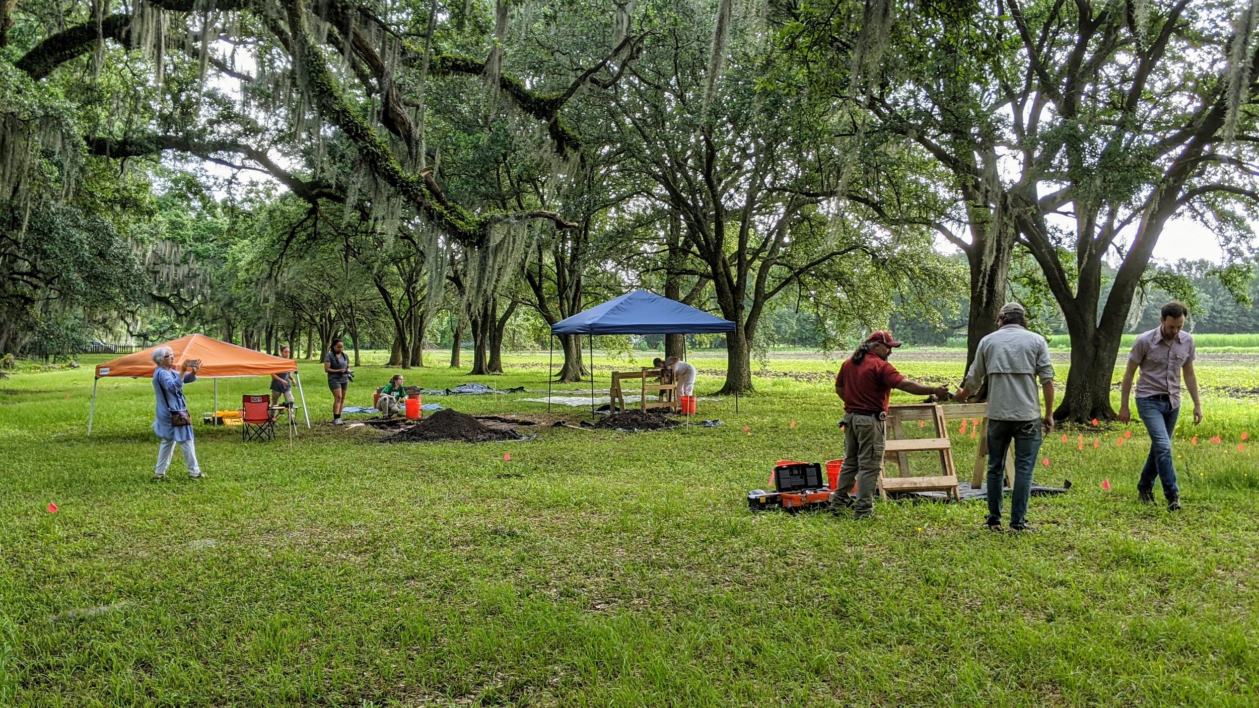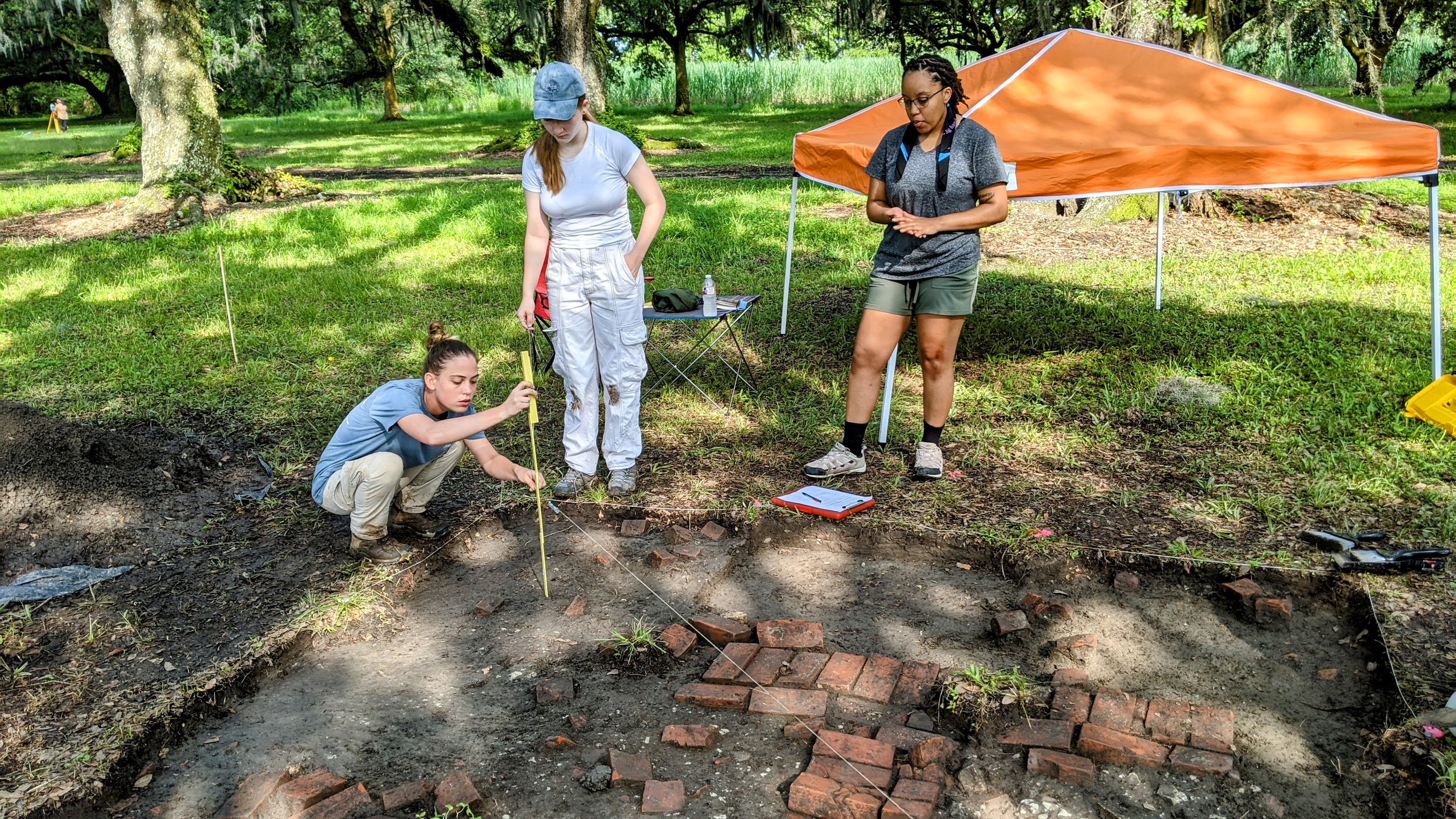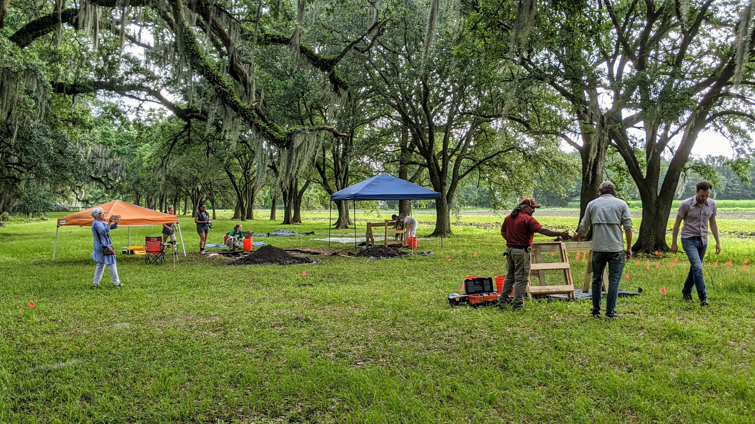
Excavation Process
Evergreen in the Pandemic Era
As work began right before the COVID-19 pandemic in February 2020, Evergreen began hosting what would be their last public tours of the property. As everything shut down and people went into quarantine, Evergreen followed suit, but later chose to close its doors to tourists indefinitely. Although tourism positioned Evergreen as a place of learning, frequent and heavy foot traffic produced the most damage to the historic property. In lieu, they have realigned to fulfill this goal of education through interdisciplinary research.
It is important to understand how Evergreen maintains itself today since it does not rely upon enslaved labor for agricultural industry anymore. On a basic level, the property earns its own support for its preservation and maintenance through its land. More specifically, Evergreen rents out the fields in the back to the Songy family so that they can grow sugarcane, and it rents out its portion of the batture, or riverbank, to shipping companies so that they can park their barges. Most significantly, Evergreen gets millions from various movie productions that seek its historic landscape, including Django: Unchained, Antebellum, and the Free State of Jones. And, although tourism was a large part of Evergreen’s overall mission, it brought in marginal funds compared to these other sources. Therefore, in these ways, Evergreen’s land sustains Evergreen’s future.
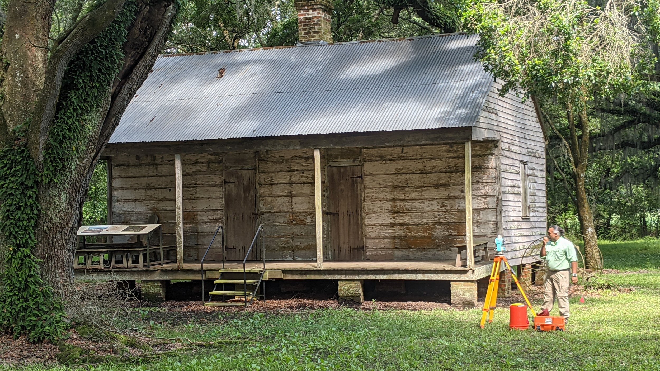
Research Commencement and GPR
During the opening weekend, the primary focus was introductory GPR surveys of the grounds near Evergreen’s cabin complex. However, The eventual goal was to conduct an extensive GPR survey of the whole area since it proved to be a non-invasive and less laborious survey method that also allowed for a better view of the underlying cultural landscape. However, we were also looking for an undocumented structure. According to oral histories that had been relayed to us, there once was a church near the cabins that collapsed during Hurricane Betsy in 1965. It is estimated to have been out of use since the 1940s, but its date of construction is unknown. Therefore, we surveyed the area of confidence, the area closest to the cabins, given the limited time we had.
What is GPR?
GPR, or ground penetrating radar, is a geophysical radar method developed for shallow, high-resolution, subsurface investigations of the earth. GPR utilizes high frequencies of electromagnetic wave pulses to acquire subsurface information.
Energy is propagated downward into the ground and is reflected back to the surface from boundaries at which there are electrical property contrasts (see figure 1 below). GPR is commonly used for environmental, engineering, archeological, and other shallow investigations, and is most accurate when compared with physical findings.
Ground penetrating radar is an active remote sensing instrument that pulses a signal into the earth, then measuring how that signal is attenuated by subsurface features. GPR has been used extensively since the late 20th century to identify buried anomalies for construction, oil and gas, and archaeological/environmental research. Based upon the intensity of the return based on the signal of the GPR unit, Archaeologist can determine the density of subsurface anomalies. The instrument also measures the time it takes for the signal to return, indicating the depth of anomaly found.
Areas marked as GPR 1,2, and 3 in the figure above show dark black shapes against a largely white and grey field. The darker the shape, and more discreet the boundary, the greater the density of the subsurface anomaly.
Slave Cabins and Scans

Uncovering the anomalies
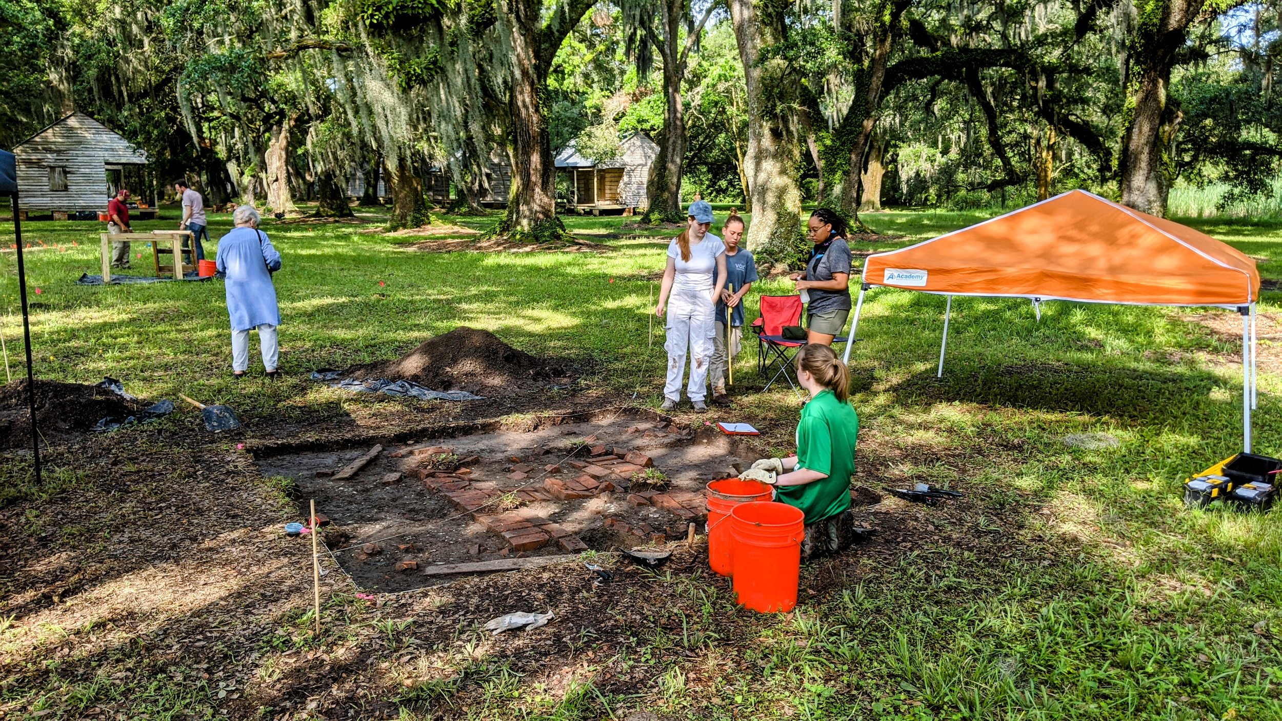
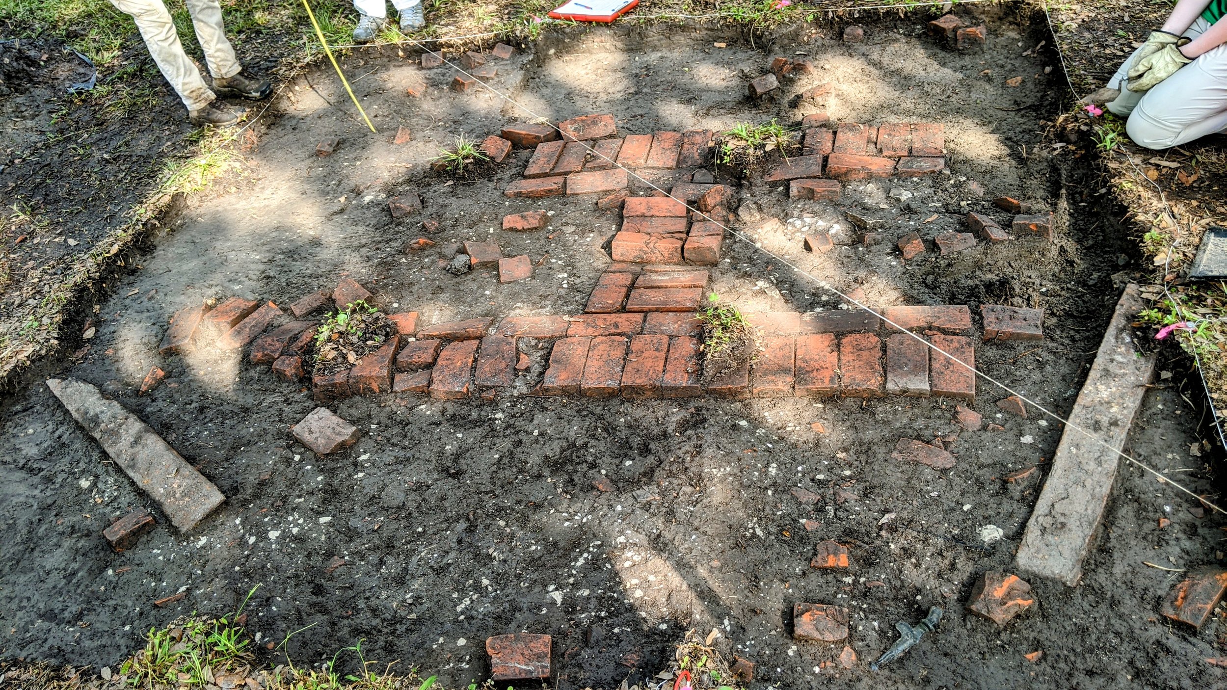
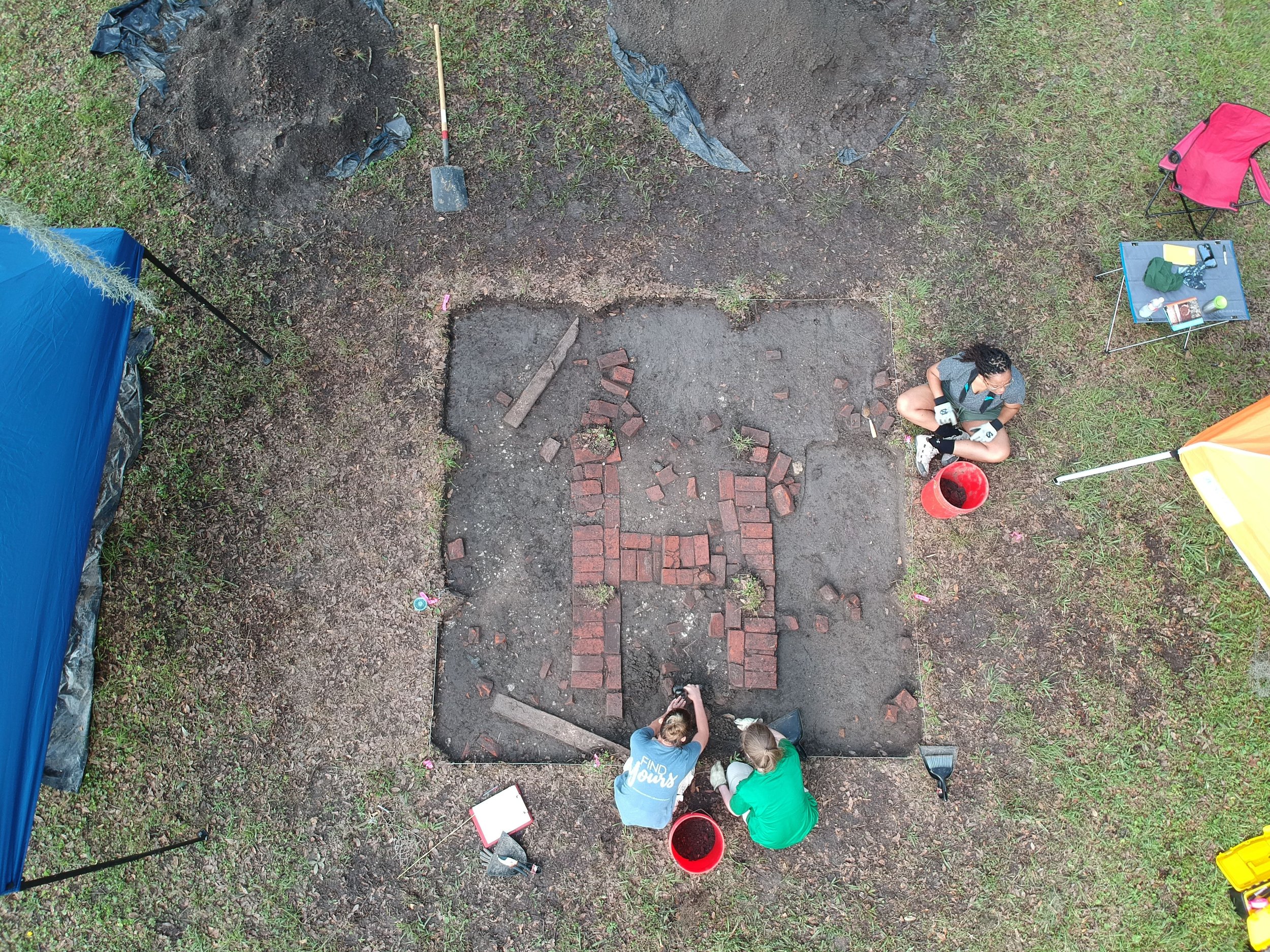
All three anomalies featured in the GPR scan found above uncovered three very distinct areas. GPR anomaly one featured minimal findings apart from a few nails, pottery fragments, and brick rubble. GPR anomaly two uncovered what we believe to be the base of a chimney, as well as a large Jesus figurine. GPR anomaly three revealed a portion of a brick walkway as well as other fragments of pottery.


